Corktownie
New Member
I think Vancouver started using the T logo around the time of the 2010 Olympics.
Everyone's copying Stockholm now, lolWait so Vancouver is using the "T" as well now?
How long has Boston used the T? It is one of the oldest subways in the world.Everyone's copying Stockholm now, lol
Wait so Vancouver is using the "T" as well now? I don't seem to recall them doing that, but it was like 2 years ago that I visited and maybe I just don't remember.
I think Vancouver started using the T logo around the time of the 2010 Olympics.
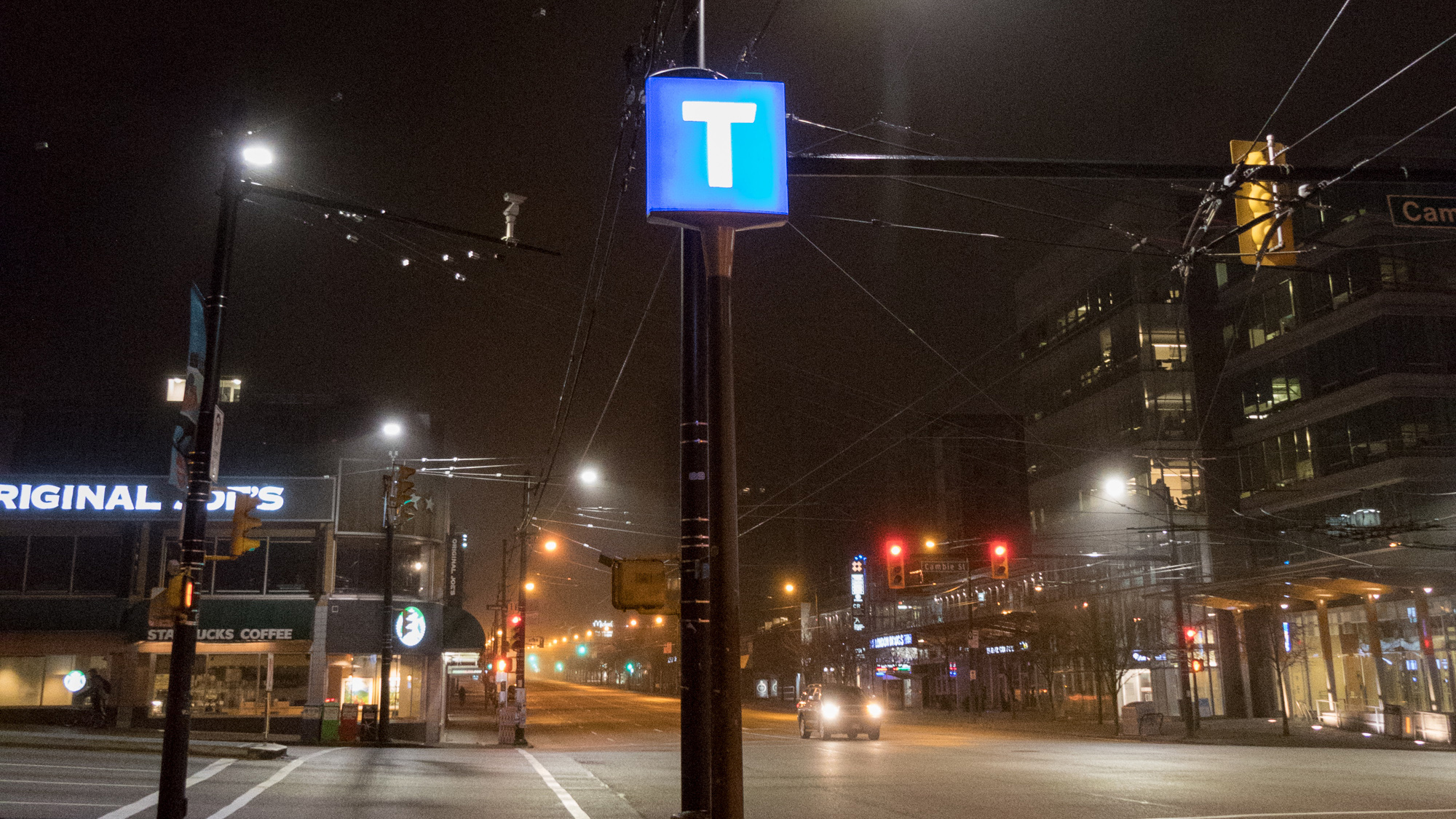
In Metro Vancouver, it’s the white “T” on a blue square that’s the primary symbol for transit, which was first introduced in late 2009, just prior to the 2010 Winter Olympics.
 buzzer.translink.ca
no because there's no work that can be be done on Line 5 from crews working on Line 3.If Metrolinx pulled everyone off Line 3 and threw them back on Line 5 would Eglinton Crosstown be done by now?
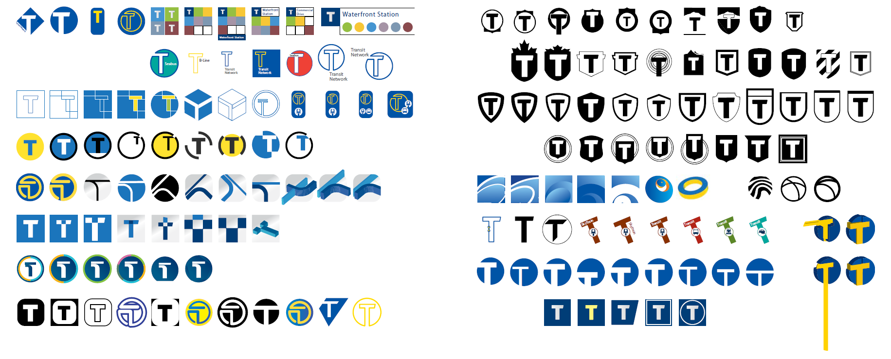
All those design options and they then decided on a regular white capital T on a blue background?? Not exactly a Saul Bass.TransLink introduced the "T" in late 2009:
TransLink Wayfinding 101: story of the “T” - The Buzzer blog
Think of the London Underground and you think of the blue, red and white roundel. Think of the Paris Métro […]
As part of the design process, different ways of presenting the T were sketched.
And more tagging all over along Gerrard.
TransLink introduced the "T" in late 2009:
TransLink Wayfinding 101: story of the “T” - The Buzzer blog
Think of the London Underground and you think of the blue, red and white roundel. Think of the Paris Métro […]
As part of the design process, different ways of presenting the T were sketched.
