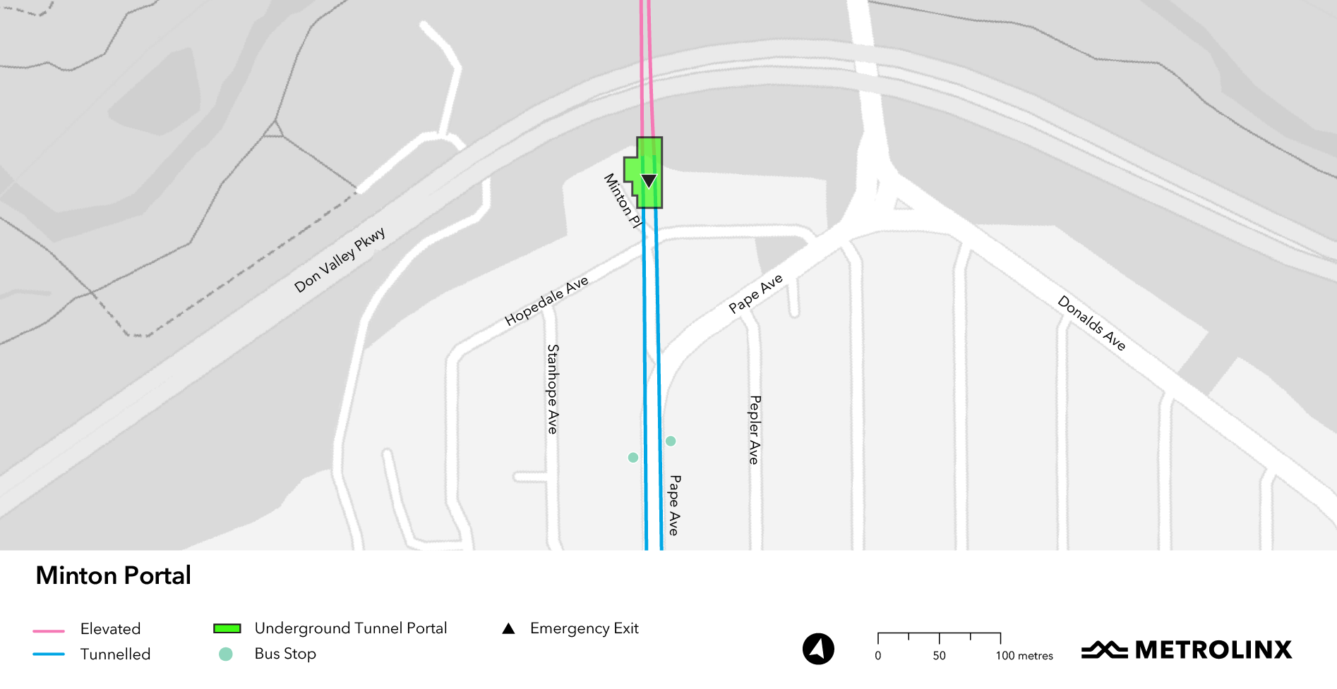
Toronto really needs to get away from the TTC subway map excluding GO lines. Most cities include both on their metro maps. When you're in a subway station you shouldn't have to hunt for another agency's map to figure out that the UP Express exists, for example.

Metrolinx does produce a map that shows subway, GO, and LRT lines. It's a much more complete and accurate picture of mass transit in the GTA.

I semi-agree. GO lines which can be an alternative to TTC service should be included; these have full-day bidirectional service 7-days a week [hourly frequencies or better?]. Some GO lines would cause more confusion than they solve for those not already familiar with GTA Transit services, which are the people the map assists.

That said, I might still be bitter about buying a physical ticket from Union to Old Cummer then finding out GO wasn't running train or bus service to it that day, or able to give an immediate refund at the ticket wicket.
 
Last edited:
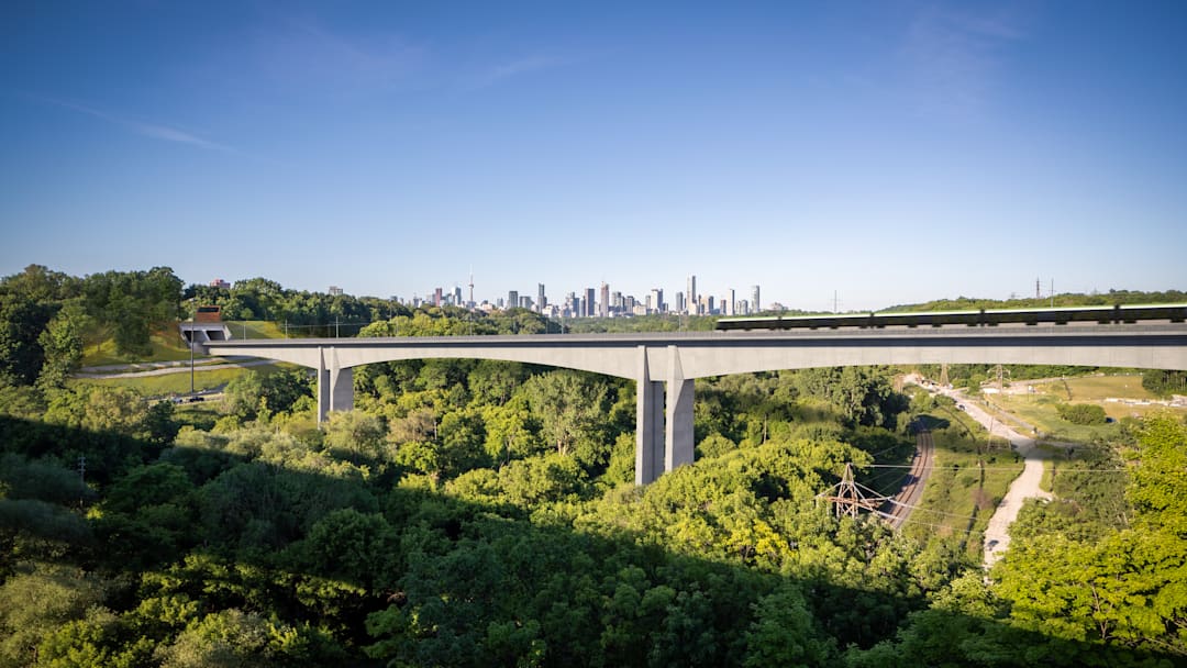
I think I see the start of a twin-walled pier taking shape!

Don_Valley_Crossing_3.jpg

 
That said, I might still be bitter about buying a physical ticket from Union to Old Cummer then finding out GO wasn't running train or bus service to it that day, or able to give an immediate refund at the ticket wicket.
If heading to Old Cummer, but unable to get a refund from the ticket wicket, that would be a Cummer bummer.
 
I semi-agree. GO lines which can be an alternative to TTC service should be included; these have full-day bidirectional service 7-days a week [hourly frequencies or better?]. Some GO lines would cause more confusion than they solve for those not familiar with GTA Transit services.

That said, I might still be bitter about buying a physical ticket from Union to Old Cummer then finding out GO wasn't running train or bus service to it that day, or able to give an immediate refund at the ticket wicket.

Yeah it definitely would confuse more than help for most of the GO lines. If/when they achieve all-day 15 min service, then sure.
 
An obvious gap is that the Ontario very clearly needs a western extension to loop back up to Bloor or Eglinton. If they do that combined with everything else the state of transit looks a lot better.
 
Here's a few shots of the different stages of the new crane on tracks being built. According to the recent CLC meeting documents, there will be a 2nd crane erected on the East end of the site as well.
View attachment 662494
View attachment 662493
View attachment 662495
View attachment 662497
View attachment 662499
View attachment 662500


And the East end of the portal/launch shaft has now been fully excavated.
View attachment 662496
View attachment 662498

I wonder why the new crane is so tall, why would you need that kind of height to simply lift things in and out of a shaft?
 
I wonder why the new crane is so tall, why would you need that kind of height to simply lift things in and out of a shaft?

From what I've gathered, the new one (and next one coming) are specifically for the new station building and eventual roof over the tracks. Even in that case, it does seem a lot taller than it needs to be. Using my drone's altitude display, this one is over 70m tall.
 
The largest crane at Exhibition needs to clear the telecom tower located at the base of Jefferson Avenue. Additionally, as there will be at least three cranes on the site, it must be able to safely operate and lift loads independently of where the other cranes are.
View attachment 663386
Good to know! Thanks for sharing.
 
West Don Crossing Bridge site from this afternoon during my run home, and about 7 minutes before a short downpour.

First looking southwest across the temporary bridge roughly across the path from the OSC site
1000034064.jpg
1000034063.jpg


Looking west from a little further south
1000034065.jpg
1000034066.jpg


The water diversion/bank retaining structure
1000034067.jpg


Looking east toward another future caisson site
1000034069.jpg
1000034070.jpg


And finally the well photographed caisson/footing adjacent the path
1000034068.jpg
1000034072.jpg

Edit: typos
 
Last edited:
Working on a video covering the progress of the project, anyone have good arial shots of the downtown stations that I could use (with credit!). Also if anyone has interesting project milestones that you think should be highlighted let me know!

Feel free to use any of my photos with credit. I post in this thread and also the thread for each station in the buildings section.
 

Back
Top