


ShonTron
Moderator
I’d actually be good with an at-grade Sparks Street alignment if only because it was the original OCR streetcar line through Downtown Ottawa and would help bring a bit of life back to it.
|
|
|
There really hasn't been good co-ordination between the rapid transit systems for Ottawa and Gatineau. It would really make sense in many ways to have one transit plan and agency for the region, but the different municipal and provincial governments make that complicated. In a rational world, I think Gatineau's LRT would tunnel under Sparks, with in-station connections to Ottawa's Line 1, and continue on into Vanier, or go down Bank Street to Lansdowne. Ottawa's Line 2 should also continue across the river to meet Gatineau's existing bus transitway. The reality is that the plans are being drawn up separately.I'm confused by the surface downtown section on Wellington, which doesn't quite intersect the Ottawa LRT.
A unified system would be fantastic. An annoying thing is you can transfer to STO with your presto card but can't start a journey on it.There really hasn't been good co-ordination between the rapid transit systems for Ottawa and Gatineau. It would really make sense in many ways to have one transit plan and agency for the region, but the different municipal and provincial governments make that complicated. In a rational world, I think Gatineau's LRT would tunnel under Sparks, with in-station connections to Ottawa's Line 1, and continue on into Vanier, or go down Bank Street to Lansdowne. Ottawa's Line 2 should also continue across the river to meet Gatineau's existing bus transitway. The reality is that the plans are being drawn separately.
A multimodal bridge to improve transportation connectivity in the National Capital Region
From: Public Services and Procurement Canada
Media advisory
January 29, 2025 – Gatineau, Quebec
The Honourable Steven MacKinnon, Minister of Employment, Workforce Development and Labour, on behalf of the Honourable Jean-Yves Duclos, Minister of Public Services and Procurement and Quebec Lieutenant, will provide an update on how the Government is advancing its commitment to improve transportation and mobility in the National Capital Region by adding a first interprovincial bridge in the east.
Please note that all details are subject to change. All times are local.
Date: January 30, 2025
Time: 1:00 p.m.
Location: Gatineau, Quebec
A multimodal bridge to improve transportation connectivity in the National Capital Region - Canada.ca
The Honourable Steven MacKinnon, Minister of Employment, Workforce Development and Labour, on behalf of the Honourable Jean-Yves Duclos, Minister of Public Services and Procurement and Quebec Lieutenant, will provide an update on how the Government is advancing its commitment to improve...www.canada.ca
Subject to further design and impact studies, they say they are going to build a bridge in the east end between Aviation Parkway and Montée Paiement, with construction starting in 2032.A multimodal bridge to improve transportation connectivity in the National Capital Region - Canada.ca
The Honourable Steven MacKinnon, Minister of Employment, Workforce Development and Labour, on behalf of the Honourable Jean-Yves Duclos, Minister of Public Services and Procurement and Quebec Lieutenant, will provide an update on how the Government is advancing its commitment to improve...
Been there, done that, got the tshirt. Until they are funding actual shovels in the ground, it's just words. The Montfort Hospital and Manor Park residents have killed the idea of a Kettle Island bridge time and time again, no reason to believe this round will be different.Subject to further design and impact studies, they say they are going to build a bridge in the east end between Aviation Parkway and Montée Paiement, with construction starting in 2032.
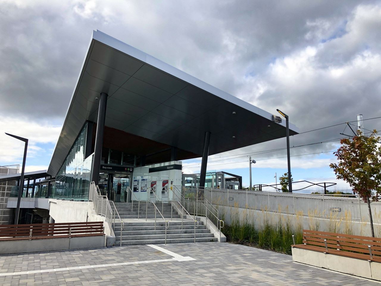


I really like the lollipops. I think they look good, especially when lit up at night.One thing they did better in Stage 1 was the placement of the lollipop signs.
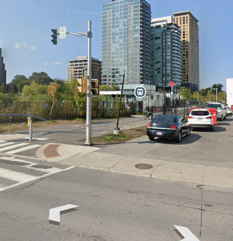
For example, for the newly opened Line 2 at Dow's Lake it's visible from the bike path, but there's none on Carling Ave indicating the station is there, and the station is a bit hidden if you don't know it's there
Whereas on line 1 the placement is better at guiding you to the entrance from a distance
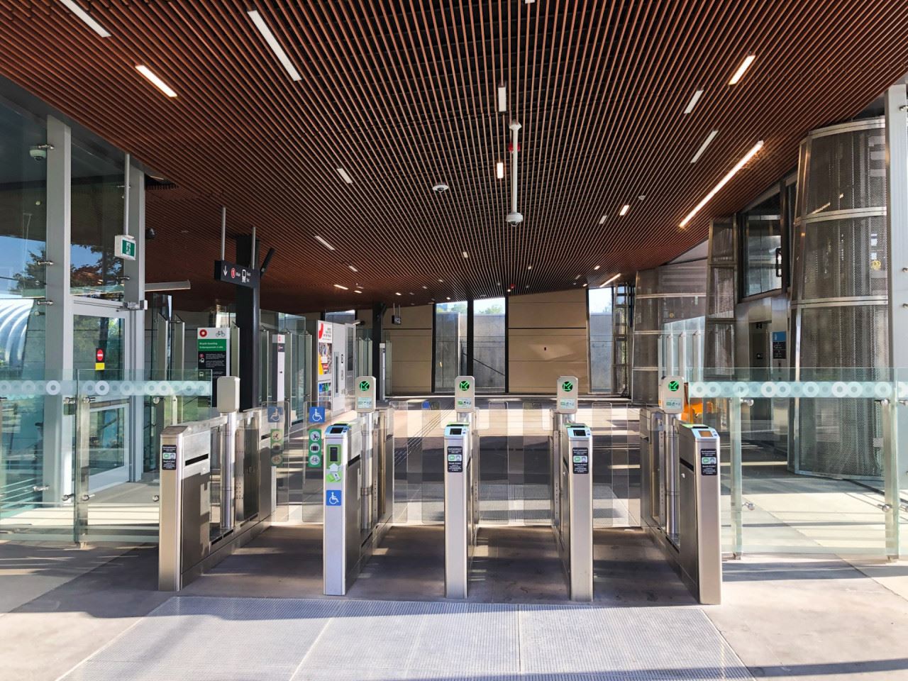
This specific ticket machine wasn't working on the opening night of Line 4 and I was really miffed at that until I realized the other machines also located by the gates which were working properly. I assumed it was the only machine prior to the gates.Actually one last station to highlight. Airport is unique as it blends the airports style with the O-Train look and feel. It's also the only climate controlled station in the entire system, and the only Stage 2 South station to have lanterns. It's a fantastic airport connection unfortunately paired with a terrible two transfer connection to downtown
How I'm interpreting this is that they will save the taxpayer money by turfing OC Transpo operators in favour of the private sector.