News   GLOBAL  |  Apr 02, 2020
 10K     0 
News   GLOBAL  |  Apr 01, 2020
 42K     0 
News   GLOBAL  |  Apr 01, 2020
 5.9K     0 

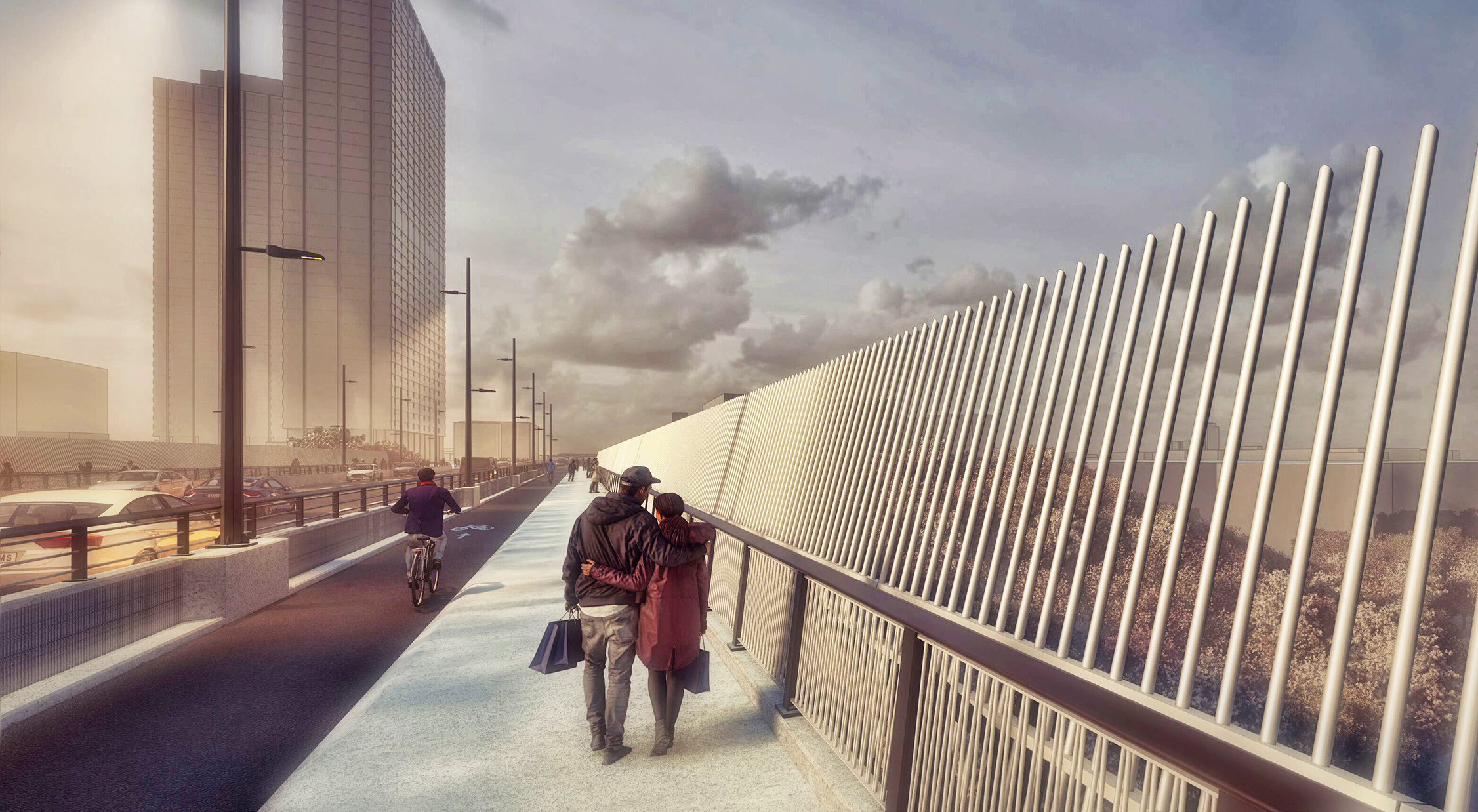
So, York Region Westbound Hwy 7. The bike lane ends at Chalmers Rd West of Leslie. There's a decent sidewalk but it can be quite hellish especially trying to cross the Bayview connector Rd, 6 curbs with no curb cuts. (No issue eastbound as there are no traffic crossings necessary)

I emailed customer service in July and I was able to get a reply that they'll be fixing it next year which is nice.

York Region is committed to improving road safety and accessibility for all. As part of our ongoing efforts, we will be installing curb cuts and pedestrian crossovers at key intersections along Highway 7 next year, including:

Bayview Connector Road – Westbound and southbound right-turn channels
Silver Linden Drive – Westbound right-turn channel
Red Maple Road – Westbound right-turn channel
Yonge Connector Road – Westbound and southbound right-turn channels

These enhancements will significantly improve safety for pedestrians and cyclists, making it easier and safer to cross at these busy intersections.
 
Now that the University bike lanes are here to stay will the upgrades to the East side of University go ahead?
@mike0001 please see the following information I was able to obtain the from the project team today: “The construction schedule for both contracts is expected to begin in late 2025 and carry into 2026, with the details of the bikeway design to be provided at a later stage. We are currently working on an updated project website, which will provide additional information about the design of the cycle track upgrades, including renderings for each segment on University Avenue & Queens Park Crescent.”

@Northern Light anything to be added from your side?
 
Last edited:
@mike0001 please the information I was able to obtain the following from the project team today: “The construction schedule for both contracts is expected to begin in late 2025 and carry into 2026, with the details of the bikeway design to be provided at a later stage. We are currently working on an updated project website, which will provide additional information about the design of the cycle track upgrades, including renderings for each segment on University Avenue & Queens Park Crescent.”

@Northern Light anything to be added from your side?

Not really, you've done a good job sussing out the gist.

I can say, what will happen will be an upgrade/improvement on existing.
 
Now that Biidaasige Park is open, let’s check on some other Lower Don projects upriver: the staircase from the Dundas bridge to the valley floor, and the ramp from the Riverdale pedestrian bridge to the valley floor.

Dundas bridge looking south

View attachment 671706View attachment 671707View attachment 671708

Riverdale pedestrian bridge looking north:

View attachment 671709View attachment 671710
This is further behind than I thought. Not confident this will meet a September re-opening.
 
Last edited by a moderator:
This is further behind than I thought. Not confident this will meet a September re-opening.
The promised September opening is only from Corktown Common to the Queen St bridge, this further north section is promised for November.

"The project continues to face significant challenges due to safety-related requirements from Metrolinx, challenges working within a narrow work area between the Don River and Metrolinx tracks and due to very poor soil conditions in the river valley. Staff and the contractor are working closely with Metrolinx and other stakeholders to complete the remaining work safely and open the trail for community use.

A sequenced reopening is planned as per the following:

  • The section between Bala Underpass (the south side of the trail) and Queen Street Bridge is scheduled to reopen in September 2025
  • The remaining trail section to the north is scheduled to reopen in November 2025.
The project not only involves trail construction but also complex structural ramp and stairs installation, and requires deep footing to bedrock to support the structures. Once complete, it will offer a lasting experience for the community that improves accessibility."

SEE: https://www.toronto.ca/city-governm...ents-expansion-redevelopment/lower-don-trail/
 
I've been waiting for the trail to re-open from Corktown Common to at least the Queen's Street bridge for such a long time! It was part of my walking trail which I've sort of abandoned partly because I had no idea when that part would re-open.
 
The promised September opening is only from Corktown Common to the Queen St bridge, this further north section is promised for November.

"The project continues to face significant challenges due to safety-related requirements from Metrolinx, challenges working within a narrow work area between the Don River and Metrolinx tracks and due to very poor soil conditions in the river valley. Staff and the contractor are working closely with Metrolinx and other stakeholders to complete the remaining work safely and open the trail for community use.

A sequenced reopening is planned as per the following:

  • The section between Bala Underpass (the south side of the trail) and Queen Street Bridge is scheduled to reopen in September 2025
  • The remaining trail section to the north is scheduled to reopen in November 2025.
The project not only involves trail construction but also complex structural ramp and stairs installation, and requires deep footing to bedrock to support the structures. Once complete, it will offer a lasting experience for the community that improves accessibility."

SEE: https://www.toronto.ca/city-governm...ents-expansion-redevelopment/lower-don-trail/
Okay, I saw the City's update but reversed the sections and opening dates in my head. Suffering from dyslexia today I guess. Still curious to see photos south of Queen.
 
Okay, I saw the City's update but reversed the sections and opening dates in my head. Suffering from dyslexia today I guess. Still curious to see photos south of Queen.
There were some several weeks ago, most has been repaved and they seem to have almost finished working on the overpasses overhead.
 
IMG_9839.jpeg
IMG_9841.jpeg

The Don Mills-Gateway Blvd trail entrance project is pretty much done. They kept the existing staircase which accounts for the “4 way junction”. Overall I think it was well executed and the workers were very accommodating
 
View attachment 673291View attachment 673293
The Don Mills-Gateway Blvd trail entrance project is pretty much done. They kept the existing staircase which accounts for the “4 way junction”. Overall I think it was well executed and the workers were very accommodating
Nice! Any word on when that trail will be extended to Gateway-Overlea per the Renewing Overlea Boulevard project? It's a much needed connection for Thorncliffe-Flemingdon residents.

 
  • Like
Reactions: PL1
The Don Mills-Gateway Blvd trail entrance project is pretty much done. They kept the existing staircase which accounts for the “4 way junction”. Overall I think it was well executed and the workers were very accommodating

Yes, nicely done. But will there be something to slow down the riders coming downhill on the new trail? Hopefully before an accident at the junction, not after.
 
Sad to see that, at least as of yesterday morning, there has been zero movement with the bike track on The Esplanade west of Jarvis. This was supposed to be done in 2024 but was postponed as the work east of Jarvis took longer than planned. The project website still says it will be finished by June 30 ( https://www.toronto.ca/wp-content/u...SU-info-The-Esplandade-Other-L-wm-conAODA.pdf ) and The City Road Restrictions site says: work on The Esplanade to Church will end July 31. About a month ago someone posted that the problem was traffic or parking regulations on The Esplanade (something that should have been fixed ages ago) but Council fixed these several weeks ago so THAT is no longer a reason. Frankly, the City's Cycle Team seems to have totally dropped the ball on planning and now finishing off this whole project.
 
Hmm, where were these posted on Eglinton? Looks like one of the LRT nub lanes there.

There have been things happening in small ways. The pedestrian signals to cross Eglinton at Glen Cedar / Old Park were reconfigured with a leading pedestrian interval. This process took months, with the beg buttons taped up, then removed, then put back and finally activated with the LPI. The EglintonTOday team confirmed it was part of the plan. Though, if it takes them half a year to do one pedestrian signal, I feel we shouldn't hold our breath for the on-street changes.

Hilariously (but also dangerously) Google Maps currently shows all of Eglinton west of Glenholme as having a functional bike lane. Not unless they snuck it in last week or something!
Screen Shot 2025-08-14 at 10.29.13 PM.png


A few of these signs have been posted on Eglinton--should I really believe that the Eglinton TOday stuff is actually taking place now?

View attachment 673455
 
A few of these signs have been posted on Eglinton--should I really believe that the Eglinton TOday stuff is actually taking place now?

View attachment 673455
Can't wait to ride it, though the parts from Bathurst to Allen and east of Caledonia are expected to be delayed.
 

Back
Top