


urbanclient
Senior Member
Is the whole Queens Quay-Lakeshore Road/Boulevard situation an example of the Mandela Effect? Although that would require us to be alive at the time Queens Quay was first built.
|
|
|
While of course it makes sense to promote a new line and i think its totally reasonable to run a bit if a campaign for it, I somhow doubt an lrt running along torontos busiest bus route will be underutilized due to the connections between train, bus, and subway alone.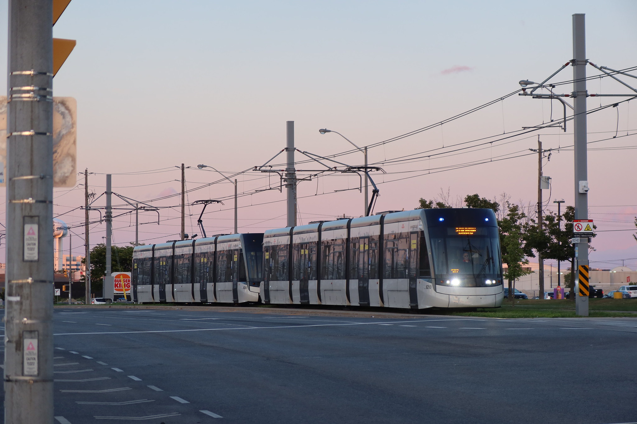
LORINC: We built it, but now will we ride it? - Spacing Toronto
As befits a fall when the Blue Jays have again become contenders, the $10 billion-plus question hanging over the soon-to-be-opened Crosstown LRT is whether it will attract riders. We built it, but will they come? It’s been a very long time since a major trunk rapid transit line opened in Toronto...spacing.ca
Because they’re not.If the complaint is that the Eglinton LRT cars are 10 years old already,
Correct ... let's get back on track"Hey let's check on the thread for the Crosstown and see if there's any news...
...tall buildings, street-running freight...something about Queens Quay's name...
Nope, no substantial news."

thanks for sharing and I agree with your comment. I was a bit disappointed at the lack of detail or information for a Lorinc article. The TTC has a marketing campaign right now where they are showcasing areas of the city to explore that are accessible by transit. It is natural to assume this would be extended to the Crosstown stops.While of course it makes sense to promote a new line and i think its totally reasonable to run a bit if a campaign for it, I somhow doubt an lrt running along torontos busiest bus route will be underutilized due to the connections between train, bus, and subway alone.
Also, Crosslinx has the responsibility for vehicle availability for a 30 year period (after Substantial Completion?). So if the cars have deteriorated then they will need to arrange for refurbishment or replacement.Because they’re not.
"Hey let's check on the thread for the Crosstown and see if there's any news...
Plus, as long as parts remain available, rail vehicles can be run even longer than 30 years. Remember: the first of these vehicles was only delivered to the EMSF on Jan 8, 2019.Also, Crosslinx has the responsibility for vehicle availability for a 30 year period (after Substantial Completion?). So if the cars have deteriorated then they will need to arrange for refurbishment or replacement.
Yes, the whole line could run 3 car trains on opening day if they had sufficient trains to do so. There is also space at the Mount Dennis MSF to add more storage tracks for more trains.I know the underground stations are built to accommodate 3 car trains but are the street level ones also?
If they were to run 3 car trains, they would not run at best frequency (service level 6) but rather at a wider frequency(service level 1). They should have enough cars to run it like that as that is like 19 trains instead of 28 trains.Yes, the whole line could run 3 car trains on opening day if they had sufficient trains to do so. There is also space at the Mount Dennis MSF to add more storage tracks for more trains.
They would run at service level 7, which has longer headways than service level 6. Service level 1 is premised on 2-RV trains.If they were to run 3 car trains, they would not run at best frequency (service level 6) but rather at a wider frequency(service level 1). They should have enough cars to run it like that as that is like 19 trains instead of 28 trains.