Aplus23
Active Member
forgive my ignorance, but how do you build tall buildings on lake infill sites, I thought the fittings had to hit bedrock
|
|
|
forgive my ignorance, but how do you build tall buildings on lake infill sites, I thought the fittings had to hit bedrock
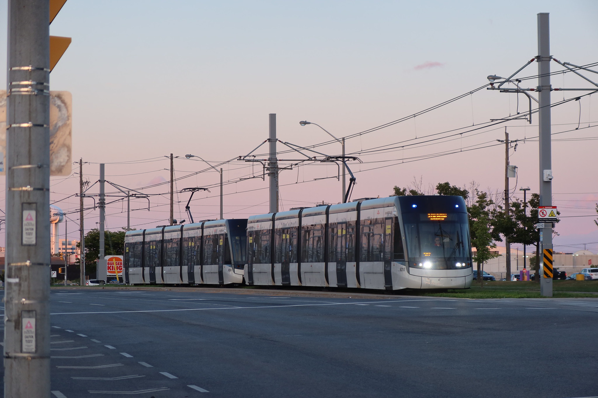
Is there any freight street running in Canada?With all the discussion about Queens Quay's freight trains, I can't believe that no one used the railway term for it, "street running". Any place where it still happens today is like a mecca for railfans.
Consider this: As already stated (and can be verified at Wikipedia), the road was built on or after 1919. It's extremely unlikely they would have named it after Queen Victoria 2 decades after her death. If it had been named for the monarch of the time, it would have been called King's Quay. It must have been named for Elizabeth II in the 1950s or later.I know that streets get renamed, but I have not been able to find anything to suggest Queens Quay was ever called anything but that.
When I was a kid in Toronto, trains ran on the streets all the time in a nearby factory area. When our family drove out to do grocery shopping, we often had to wait for street trains to pass. I live in a different neighbourhood now, but there is a warehouse area nearby, and old tracks can be seen everywhere. In the 25 years I've lived here, most of the tracks have been removed, along with train crossing signs and other old markers. I found it interesting enough to take photos of tracks when I first moved here, and used Google Maps to map out where all the rails went, so I have something to compare to the present. Trains on streets can be dangerous and noisy - as a kid, I'd hear them all night - and few active lines remain, if any.Is there any freight street running in Canada?
When I was a kid in Toronto, trains ran on the streets all the time in a nearby factory area. When our family drove out to do grocery shopping, we often had to wait for street trains to pass. I live in a different neighbourhood now, but there is a warehouse area nearby, and old tracks can be seen everywhere. In the 25 years I've lived here, most of the tracks have been removed, along with train crossing signs and other old markers. I found it interesting enough to take photos of tracks when I first moved here, and used Google Maps to map out where all the rails went, so I have something to compare to the present. Trains on streets can be dangerous and noisy - as a kid, I'd hear them all night - and few active lines remain, if any.
Here is a map I made, and just a couple of photos as an example. On the map, red lines are active right of way rail lines, green lines are inactive street rails, numbers show places where I took photos. The 2 photos shown are at location points 5 and 9. This is southwest of Eglinton and Don Mills.
View attachment 688449
View attachment 688450
View attachment 688451
Consider this: As already stated (and can be verified at Wikipedia), the road was built on or after 1919. It's extremely unlikely they would have named it after Queen Victoria 2 decades after her death. If it had been named for the monarch of the time, it would have been called King's Quay. It must have been named for Elizabeth II in the 1950s or later.
Again, I know street name changes were fairly common, and I'm not expecting the name to be found on street signs. But if the road had originally been called Lakeshore, why would it not be mentioned on Wikipedia, for instance? The names of the streets that make up today's Dundas are not exactly difficult to find.Consider this: As already stated (and can be verified at Wikipedia), the road was built on or after 1919. It's extremely unlikely they would have named it after Queen Victoria 2 decades after her death. If it had been named for the monarch of the time, it would have been called King's Quay. It must have been named for Elizabeth II in the 1950s or later.
Many streets in Toronto changed their name in the 20th century. Usually the old name is no longer referenced, to avoid confusion. You can find old names on old maps, but it's rare to see them elsewhere, unless there's an interesting story behind the change.

Again, I know street name changes were fairly common, and I'm not expecting the name to be found on street signs. But if the road had originally been called Lakeshore, why would it not be mentioned on Wikipedia, for instance? The names of the streets that make up today's Dundas are not exactly difficult to find.
The best bet for producing a primary source that confirms the original name would be to investigate old maps through the TPL's digital archive, but it seems to be throwing back a 403 error. The city of Toronto only has one post 1919 fire insurance map, where neither a Lakeshore nor a Queens Quay exists, there seems to be some kind of access road called Lake Street that went as far as John Street. I have several old transit maps which were created in the 1970s by historian John Bromley, which otherwise make reference to former street names where appropriate, that refer to the street as Queens Quay going as far back as 1936, which I consider reliable as a secondary source.
Aha, here we go. Two maps, from the World War I era, by the Toronto Harbour Commissioners, showing the proposed development of the waterfront, with Queens Quay being the name of the street. As a primary source, I don't think you can get much better than this.
 Okay, I give up!