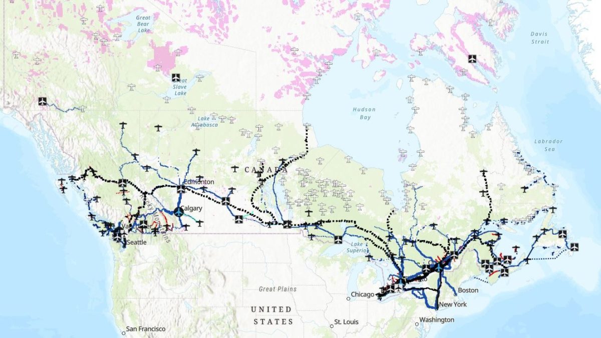
This map depicts Canada’s current public transport network, including intercity and regional motorcoach, ferry, passenger rail and intercommunity bus routes. Information about each carrier, rail service, and transit agency can be found by clicking on the route or service area. Links to schedules, fares, and reservations are provided where available.
This ArcGIS map is maintained by geographer Sean Marshall, with support from Transport Action Canada. It is intended to serve as a starting point for journey planning and research. The map is updated quarterly with new routes and service changes submitted by operators and passengers, but we can not guarantee that it is authoritative. Please use this form to submit updates. [See the page for the link]


