News   GLOBAL  |  Apr 02, 2020
 11K     0 
News   GLOBAL  |  Apr 01, 2020
 43K     0 
News   GLOBAL  |  Apr 01, 2020
 6.7K     0 
I think bikeways are only acceptable if there's a least 1 fully AAA (all ages and abilities) bike route along a parallel corridor. (within a few blocks and traveling the same way)

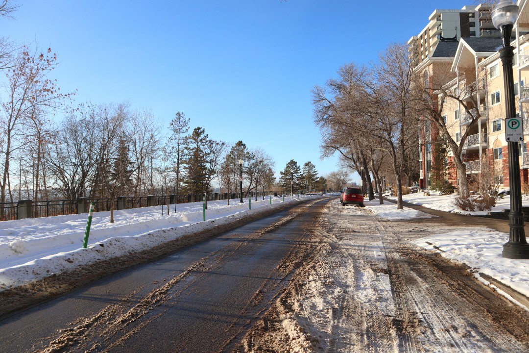
For example, where I live on the West End, 95ave is becoming the District Connector. They're making it a MUP (not ideal, but ok), but it's fully separated/protected and goes from 189st to 142st. Amazing. 92ave and 97ave are also E/W bike routes currently. No infrastructure, just sharrows. Ideally those roads would have neighbourhood level MUPs in the future, but then being "local street bikeways" for now while demand is lower is fine. People can take slight detours to access the main protected route for longer trips. But if people need to start doing 40,60,80% of a trip on non protected routes (or uncleared winter routes), then only the most confident riders will be out there.

Local bikeways take little effort and should be a part of vision zero/street lab level projects. The 100 Million for Bike Lanes should be high quality, Key Routes, that maximize improvements to our city-wide bike grid. That's what it was touted as. Not crappy little modal filters that should happen with or with/out this special funding.

That's my beef. We have to maximize ridership.

Also, difference in Vancouver as someone that works/rides there: 1) way narrower streets, 2) no snow, 3) slower streets, 4) denser core with low car use meaning less busy bikeways as more people walk/transit. And even still, you rarely see kids/seniors biking on 10th ave, but you see lots on the Arbutus greenway. So it clearly isn't a solution for All riders.

Good video here. 6min mark has some interesting thoughts on MUPs/sidewalks and also mentions the critical need for protected intersections of which we have 0 still I believe.
 
I agree it is better to use other apps and sources to plan routes, but I think having the bike network properly mapped on Google would be a huge help in getting more people to use it.

I will email the city's active transportation mailbox and see if they can do anything to get it updated.

I got a reply on this, they said they are unable to edit Google Maps 🙁

They referred me to this map which is quite accurate, unfortunately it can't be used for route planning though.

Guess I'll try suggesting edits to Google again one day when I have nothing better to do..
 
I got a reply on this, they said they are unable to edit Google Maps 🙁

They referred me to this map which is quite accurate, unfortunately it can't be used for route planning though.

Guess I'll try suggesting edits to Google again one day when I have nothing better to do..
The Transit App recently got an update which made it a lot better for cyclists. Even better, they take feedback!

"It’s early days for our bike routing — if we give you a helmet-scratcher of a route, help us make an improvement so all riders can benefit! Take a screenshot of the issue, and tell us what you would have preferred to see instead by tapping this link on your phone."
 
Some options involve a two-way protected bike lane on the south side of the roadway. This design would require a cyclist to transition across vehicle traffic at 121 Street NW, where the bike lane would switch from two-way to one-way. The city previously said a two-way bike lane was not possible due to physical constraints and safety. One of the options with a two-way bike lane involves removing about half of the vehicle parking along the street to widen the pedestrian promenade.
There's room to do a two way protected bike lane on 121 St from Jasper Ave to the 102 Ave bike lanes and maintain street parking between the protected bike lane and the travel lane. It can transition to the two way bike path north of 102 Ave. Forcing riders to transition from a two way to a one way at Jasper Ave will be a frustration point with an extra light to contend witih, and doing one way along the promenade is just going to irk residents again.
 
Has the city changed the policy to add private contractors for MUPs, sidewalks and bike paths? In Royal Gardens this morning at 6 when I was walking the dogs, noticed a private operator and trailer parked beside a cleaned off path. Then noticed a green John Deere with plow motoring along cleaning. This is great because our paths are never clean until at least 2 to 3 days after a snow event. I approve if the city has done this.
 
Has the city changed the policy to add private contractors for MUPs, sidewalks and bike paths? In Royal Gardens this morning at 6 when I was walking the dogs, noticed a private operator and trailer parked beside a cleaned off path. Then noticed a green John Deere with plow motoring along cleaning. This is great because our paths are never clean until at least 2 to 3 days after a snow event. I approve if the city has done this.
I believe it’s been this way for at least the last two years now (maybe someone else knows for sure). I’ve seen the same green vehicles clearing the double wide paths this year too:

Definitely a bit hit and miss, though. My neighborhood, which is on a 5 day clear schedule, was done last night too. That’s great, but all the multiuse trails along the major road leading out of the neighbourhood have not been touched. The Royal Gardens/Greenfield zone(?) has definitely been one of the more consistently and reliably clear areas this year.

Heading north into Malmo and Lendrum is a different story, though (not a good one).
 
Today's my last day at the office for the rest of the year and I haven't been on my bike since Monday, so hopefully they at least clear the neighbourhood so I can get some pleasure rides in. My calorie burn rate is way down and calorie intake has been way up.

Cycling numbers were reasonably good yesterday on the priority clearing routes at >100, down to a few dozen on the surrounding paths, and virtually non existent in the suburbs. After 2027 with the completion of 132 Ave, the 74km of varying degrees of cycling infrastructure, and a dozen or so neighbourhood renewals, we are still going to have far too many missing links/middles for people to consider warm season riding let alone winter riding. Only Clareview/Manning and Terwillegar is going to join Mill Woods/Ellerslie as having a continuous protected bike route to the central core by then.
The need for routes into the inner suburbs and better snow clearing has been so obvious this year. Any “missing links” in a journey are almost impossible to make work after days like yesterday. The “bikeway” believers can shut up, we need dedicated paths or lanes that are cleaned for any hope of winter cycling numbers to exist.
 
I got a reply on this, they said they are unable to edit Google Maps 🙁

They referred me to this map which is quite accurate, unfortunately it can't be used for route planning though.

Guess I'll try suggesting edits to Google again one day when I have nothing better to do..
Hey bud sorry it's a late response, but I can resist a plug for open street maps. The city uses an open street maps layer that is a bit more upto date with all the projects they have done. I've done a lot of work to generalize into "routes" for corridors as well to help with trip planning. Everyone is able to edit this map, change anything they would like it's free and open. This is the map layer I like to use on my phone while out and about.


For routing there are tools on the page but this one is nice too.(I was also really impressed with the transit app others suggested it does a pretty good job)


The routing needs some tagging work I or someone eventually will need to get to to help it gets a little confused at times or throws you on goofy roads.

Honestly the system here is pretty darn good once you learn it a lot of the city is easily accessible on pretty safe low drama roads and paths there is a lot of good happening to be proud of. But a lot of work too we can all continue to advocate for.
 
The city received $8.9 million from the federal government's $400 million active transportation fund (2021-25) - and that is mostly going to the Jasper Ave 114-124st project that begins construction in 2025 (none of it is really for cycling, but it is going to make our signature street more walkable).

And the deadline to apply for some of the new $500 million fund is Feb. 26, 2025 (if Polievre doesn't cancel it). I wonder what project the city is going to feature in its application - I figure we are good to receive about $10million. Maybe Jasper Ave east of 109st?


Here was our previous grant for Jasper Ave.
Screenshot_20241230_235116_Samsung Internet.jpg
 
I think Edmonton needs to invest in a Bike Share system instead of relying on these private companies:

I would love to see a bikeshare pilot in Edmonton, especially in the core area of Downtown / wîhkwêntôwin / Strathcona / Garneau area that's all geographically close but not always that well connected by public transit due to the river. As far as I know, BIXI lost money for a solid decade—which is fine from my perspective, as I think it's fine to subsidize these things a bit to avoid the negative externalities of driving—but given the touchiness of budgetary issues at the moment, especially as it concerns cycling, it feels like a political non-starter to propose something similar here.

One of the most annoying problems for BIXI is that everyone tries to get from the Plateau / Rosemont to downtown in the morning and return in the evening, requiring trucks to go around redistributing bikes in midday. Would that be less of an issue for Edmonton, or more?
 

Back
Top