University Avenue, Avenue Road, and Oriole Parkway were Highway 11A in Toronto.

Hwy109map.jpg
From link.

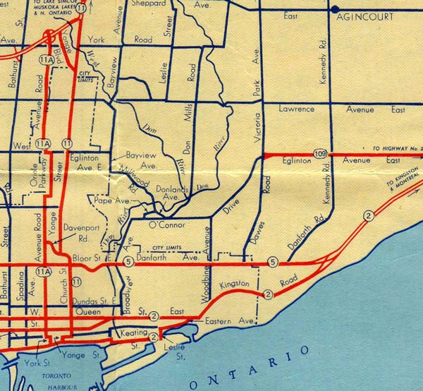
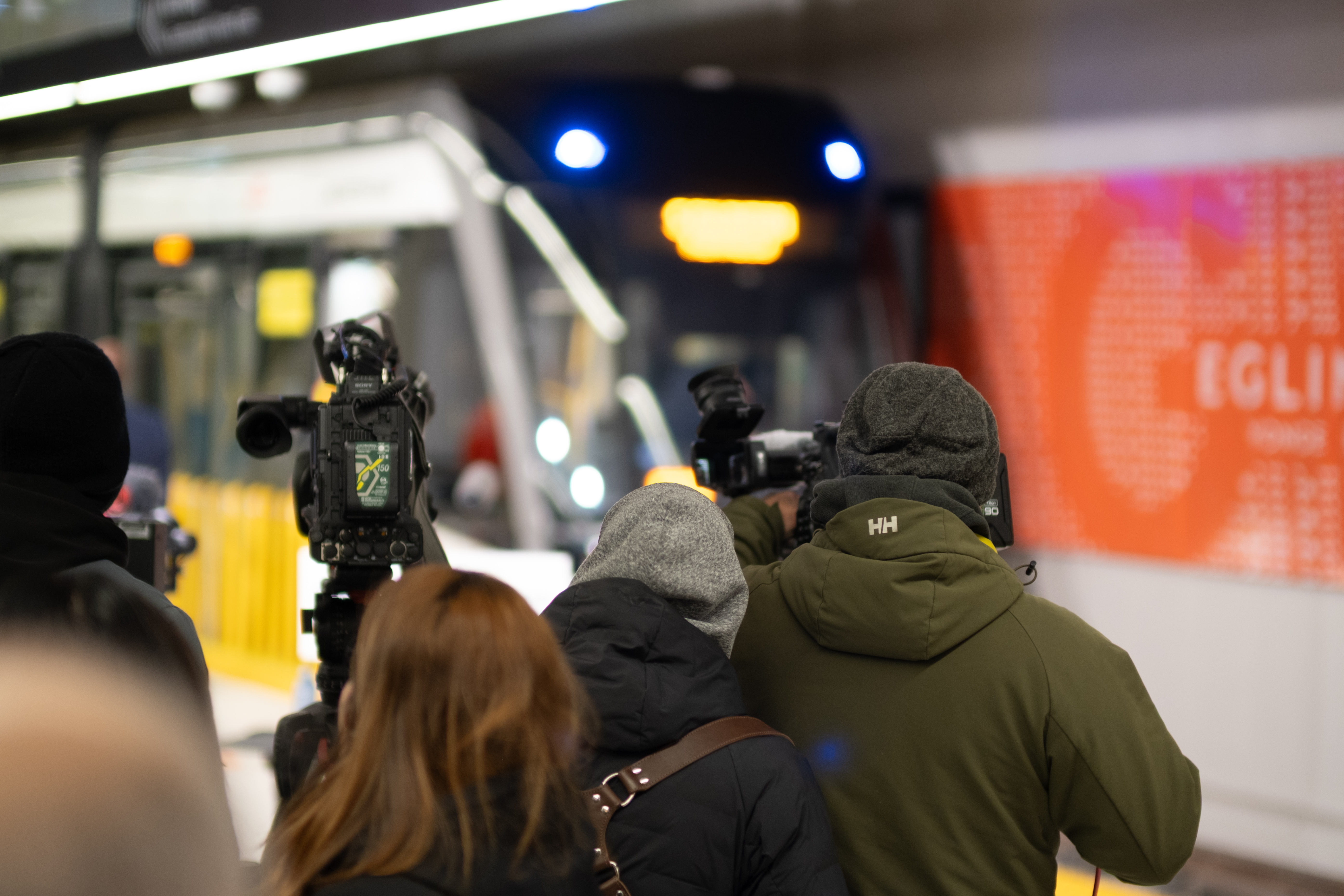
Why would someone want a light rail rapid transit along Highway 10?
hwy10-5_lg.jpg
From
Junction of Hwy 7 & Hwy 10 at Westervelt Corners north of Brampton, facing south along Hurontario Street in 1930.

Compare this 1930 photo to this 2004 photo of the same intersection.
hwy7-57_lg.jpg
I am not sure if I understand your response. I was asking who calls Yonge Street Highway 11 anymore and you replied by saying some other roads were called Highway 11A. Then you shared some old and new photos of Hurontario.
 
University Avenue, Avenue Road, and Oriole Parkway were Highway 11A in Toronto.
LOL, and it was Church that was Highway 11 south of Davenport, on that figure, not Yonge!

That's the problem with the highway numbers - they haven't been official this century, they frequently changed, and few remember the idiosyncrasies.

Line 5 Highway 109 anyone?:)

Which I guess dates that map to 1953/1954.
 
If you want to discuss Highway 10/Hurontario Street, go here:


If you want to discuss the transit project, stay here.
 
Well I find it strange anyone still calls hurontario highway 10. Nothing about it screams highway and it just makes me think people are living in the past. I can understand people calling Rogers centre skydome because it’s fundamentally the same building with a corporate name attached. Hurontario looks vastly different today than what it did in the 90s yet alone the 50s.

I think it boils down to the fact that with Hurontario, the road being a highway came first but with Yonge the street status came first and the number later.
What makes Hurontario so unique with the "highway" name with other streets that are sometimes called highways is it's built form; an old 1960s suburb with commieblock apartment buildings and strip malls. Definitely not the same as Highway 27 with ditches, a wide ROW, and few driveways or intersections.

Another thing is the city it runs through. Mississauga is a suburban city that was once a rural township. This fuels a persistent, anachronistic sense of place that gets passed on to young people and newcomers. To use another example; ever notice Markham Rd. is still labelled 48 north of Steeles?
 
Was expecting something like this.

Crews are installing micropiles - used to stabilize the overhead railway corridor - for when the push box that forms the underpass is put into place. Micropiling activities are currently ongoing and will continue until middle of February.

Crews are also planning on pushing the box closer to the tracks to enable them to install the Verona system at the beginning of February. The Verona system is the temporary structural supports that are used to stabilize the railway corridor as the box is pushed underneath. In order to install the Verona System micropiles need to be installed first. The box will likely be pushed into place this March and takes approximately 3 weeks.

https://blog.metrolinx.com/2021/10/27/see-the-launch-pad-completed-in-preparation-for-hurontario-light-rail-transit-push-box/
 
The storage area is the Cooksville GO Transit old parking lot on the east side of Hurontario. Odd place to store the rail that will be use first for the section south of 407 to Matheson first, since this will be the testing zone. Construction start this year and supposed to be before June. Construction north from Port Credit is supposed to be Q3 with construction Thanksgiving weekend for the QEW.
 
Jan 14/22
Only saw crews working for the 2 blocks south of Dundas as well the plaza in Port Credit and the rest looks the same.

Saw the many piles of rail in the storage area as I drove by and will try to get shot ln the next few days.

The roof of the box is pour with the scaffolding for it being remove. Still working in the trench south of the box.

Wonder if they will start track bridge work this weekend as none was done last weekend.
51821306101_e85a4610b3_b.jpg

51821305856_3d5f617a8c_b.jpg

51821417918_641cd660c8_b.jpg

51822028530_bca6ea1031_b.jpg

51821417833_172190120d_b.jpg

51821305526_c517558b6d_b.jpg

51821647349_c952b27c7e_b.jpg

51821305386_027f1be17f_b.jpg

51821305361_46f98a4a20_b.jpg

51821646994_643d971248_b.jpg
 
Jan 16
Stop by the Port Credit GO Station and saw no one or any indications any work was done this weekend closure. Weather may had an effect of seeing no work or what was to take place.

Stop by the storage yard where the rails are being store for the line. Still a stack of 3 pack rail that will be broken and place on piles of single T rail. There is no grove rail as noted by Metrolinx Blog.
51825565246_94bf284e4c_b.jpg

51825673218_e1cf767bd1_b.jpg

51825908059_7223780c2d_b.jpg

51825908004_983b55c829_b.jpg


3 piece bundles
51825564981_fefac59dec_b.jpg
 
Peel Region staff did a report here on the Hurontario LRT (agenda here). It also covers the extension into downtown Brampton on Main Street.

Brief article about it in the Guardian.


One aspect that was left out of the above article from the report was this:

Transportation: The project will require the extension of the LRT tracks, Multi-Use Path, and relocation of the Steeles and Hurontario stop (Gateway Terminal stop) from the south side of Steeles and Hurontario to the north side, resulting in changes to the Regional intersection configuration. Regional staff are supportive of the City of Brampton’s plan to relocate the Gateway Terminal LRT stop from the south side of Steeles Avenue as currently planned by Metrolinx through the Hurontario LRT to the north side. According to traffic analysis, if the stop remains on the south side of Steeles Avenue, the number of pedestrians crossing is expected to increase substantially as a result of future growth and transfers from the LRT stop to the Brampton Gateway Terminal which is on the north side. This number is expected to increase if the LRT stop remains south of Steeles Avenue as a result of the Hurontario LRT Extension. Relocating the stop to the north side of Steeles would result in fewer conflict points, lowering the risk of vehicular collisions with vulnerable road users.

This situation was actually covered in blog post here that was posted in this thread at the time.

 
Is this caused by the LRT work or a problem cased by the weather??

I guess Transit will have to use King that will be a bitch going east and do walking transfers.

It been a bitch last week with Bell doing its thing with 2 Police cars at the south-west corner. More was taking place south of King.

Stay away and don't use transit for this area.

Water main repairs shut down lanes of major intersection in Mississauga


Back
Top