ADRM
Senior Member
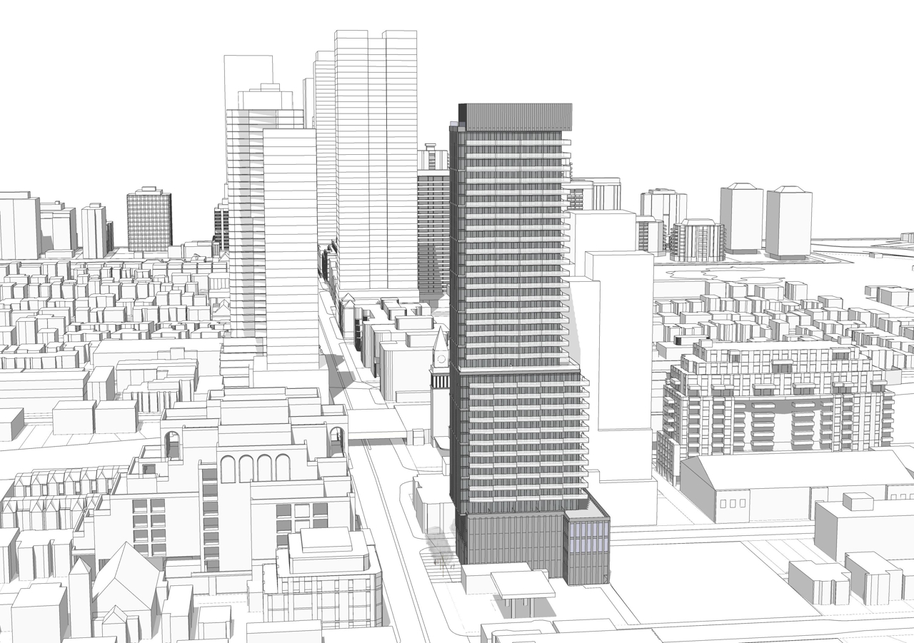
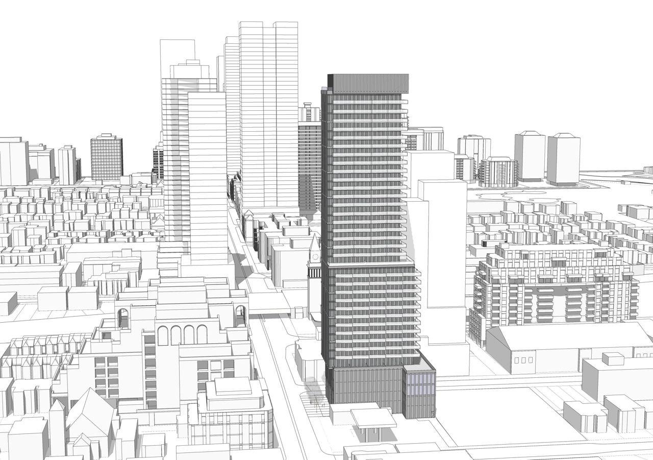
I think the case is there to transition this into MTSA type density, but once you open this can of worms, I think you have to at least look at the entire block bounded by the tracks, Duplex and Hillsdale.
It may also suggest opening up anything east of Duplex to the south.
That then impacts on the idea of decking over the open cut as parkland (shadows will come into play if you go further south).
If one goes no further south than Hillsdale (or stops at any logical point, Planning will want some transitional scale at the south and west extremes.)
Honestly I think this is one of the most interesting land use questions in the city right now: Where do more or less height-unlimited (or at least tower permissive) MTSAs start and stop? Obviously, I can read a radius on a map, but that doesn't actually tell you a ton in terms of how it's practically playing out across MTSAs.
Setting aside, call it, political considerations, why are SFH assembly tower heights in, say, the Eglinton West/Lawrence West MTSAs popping off, but we've seen nearly none of that in more or less the exact same MTSA context in Rosedale? That's an obvious example, but you can think of a number of other areas where the same question could be asked Annex, Seaton Village, Baldwin Village, Bloor West Village, Yorkville, Danforth, etc. St. James Town and the $10-25M homes in Rosedale are in the same MTSA. (The Glencairn/Marlee ones are actually especially good provers-of-the-point because they're actually in between two MTSAs.)
You ask the City off the record, and they admit it's all vibes; you ask partners at Bousfields/USI/SvN/Goldberg/etc. and you'll get different answers/more vibes. Funny and interesting environment/point of time we're in.

