


Northern Light
Superstar
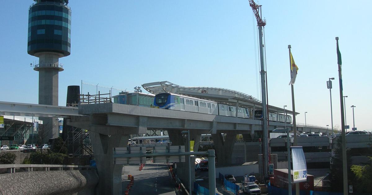
‘We’ll have flying cars before any of that’s built’: Could there be a monorail, gondola or light rail train in Oshawa’s future?
Try to imagine a monorail or aerial gondola riding over Simcoe Street from Lake Ontario to Highway 407.www.durhamregion.com
The website for the project; if one can call it that at this stage:

Simcoe Street Rapid Transit
 www.simcoestreetrapidtransit.ca
According to the FAQ, the earliest construction on 'something' might start is 2030.
Which, to my mind, makes the whole exercise more of a consultant enrichment scheme than anything else..........
What's needed now is simply to build up the robustness of DRT in general, and the Simcoe Route in particular. To seriously consider upgrading to some form of rapid transit (BRT/LRT/Subway etc.); you need to be seeing full buses w/service every 5M or less in off-peak and service every 2M or less in peak.
We're nowhere near that.
How about we just bump up service levels, maybe amenitize a few high-volume stops (over-sized shelter w/heater, outdoor bench, LCD next vehicle screen) and see where that goes. IF ridership rockets upward then lets come back to a then more
realistic conservation about what's next.
Last edited:

")
